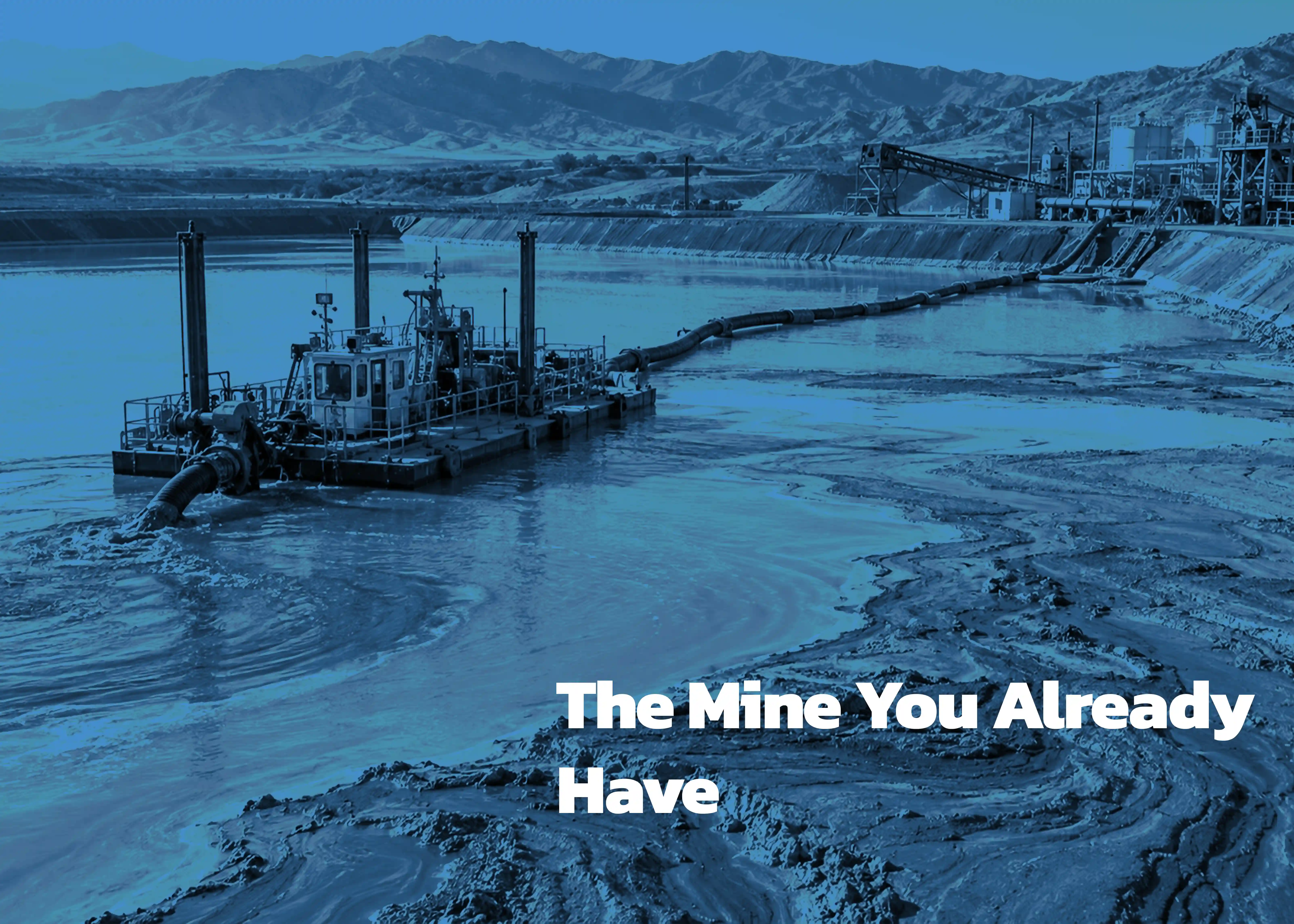
Every tailings pond is a sedimentary basin. It just happens to be one you built.
For decades, slurry entered at a spigot, spread across a beach, and slowed. Sand dropped out first. The fines kept travelling — into the still water at the centre, where they settled through months of quiet. That sorting happened every day the mill ran. The result is a stratified deposit as legible as any lakebed: coarse at the margins, fine and deep in the middle, layered by decade.
Layered by decade
That last part matters more than it sounds. Recovery rates improved over the operational life of nearly every historical mill. Ore feeds changed. Reagent schemes changed. Elements nobody had a market for in 1968 — gallium, germanium, cobalt, scandium, the rare earths — went out the pipe unassayed and unrecorded. Each of those changes left a layer.
Then the chemistry kept working. Sulphides near the surface oxidised, acidified, and released metals that migrated downward and re-precipitated at the redox front. Studies of impoundments in the American Southwest have found arsenic and zinc concentrated several times over at that boundary relative to the material above it. The core you pull today is not what was discharged. It is what forty years of geochemistry made of it.
Why the usual numbers lie
All of which explains why the two most common ways of estimating what sits in a pond are the two least reliable.
Mill records tell you what left the plant, not where it went or what became of it. And grab samples — off the beach, off the crest, wherever a truck can reach — sample the coarse, oxidised, metal-poor margins while missing the depocentre entirely. An averaged assay across a stratified deposit is not a number. It is a rumour.
Map the basin, then core it
The alternative is unglamorous and well established.
Bathymetry comes first, because you cannot target what you have not measured. A survey defines pond geometry, water depth, and the depocentres — the deep, quiet zones where the fines accumulated. Sub-bottom acoustic profiling then maps sediment thickness down to the original pond floor, which turns a guess about volume into an estimate with error bars.
Only then does coring make sense. Vibracoring and piston sampling recover near-uncompressed continuous core in soft saturated sediment; sonic drilling handles stiffer profiles. The discipline is in the handling — sealing anoxic core against oxidation, correcting for compaction, logging depth-referenced intervals, not composites. Composite a stratified column and you have simply reconstructed the average that misled you in the first place.
One core, two files
What comes out answers two questions at once. Grade, mineralogy, and particle size feed a resource model. Sulphide content, acid-generating potential, and geotechnical properties feed closure planning and dam-safety assessment under the Global Industry Standard on Tailings Management. Same core. Two files.
That convergence is the real argument. Post-Brumadinho, characterisation is no longer optional; it is a governance requirement with a budget line already attached. The marginal cost of extracting resource information from work you are obligated to do anyway is small. The marginal value, if the depocentre holds what depocentres often hold, is not.
Which ponds pay
Some ponds will pay. Chile's Minera Valle Central has reprocessed El Teniente tailings since 1992. South Africa's Ergo operation runs roughly two million tonnes of legacy material a month. Ontario's new Recovery of Minerals permit, first issued in early 2026, creates a faster route to reprocessing.
Many ponds will not. Fine-particle metallurgy is genuinely difficult. Legacy reagent chemistry interferes with modern circuits. Grades are low, tonnages must be enormous, and projects live or die on prices they do not control. Kasese in Uganda produced cobalt for fourteen years, then stopped when the feed ran out.
Nobody knows which category a given pond falls into until it has been properly characterised. That is the point. The question was never whether the material is valuable.
It is whether anyone has actually looked.