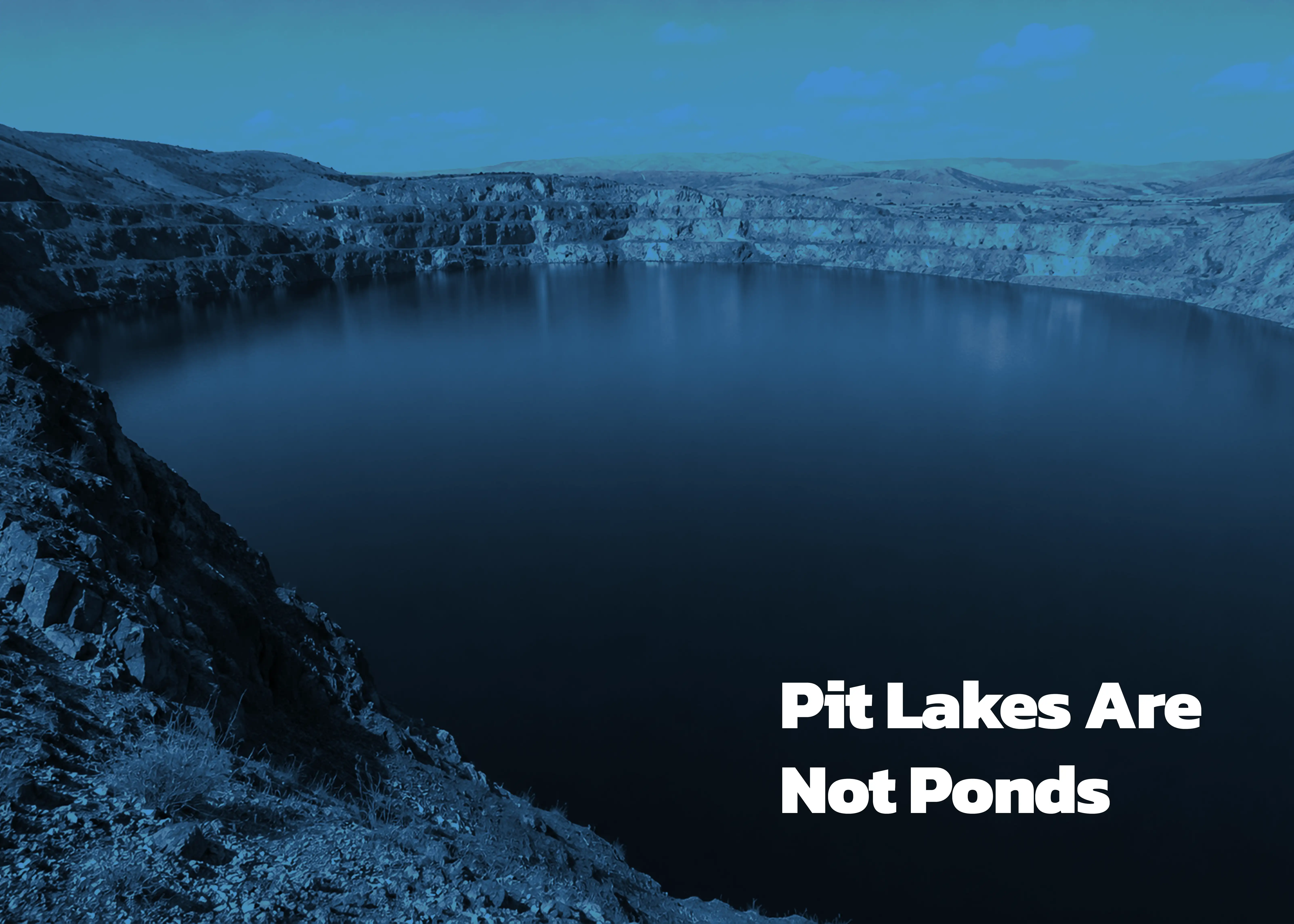
From above, many abandoned open-pit mines look calm. Blue water. Still surface. Almost serene.
But beneath that surface, some pit lakes behave less like ordinary lakes and more like vertically layered chemical systems — deep, stratified environments where oxygen, acidity, dissolved metals, salinity, and temperature can change dramatically with depth.
That distinction matters far more than the mining industry once believed.
For years, many monitoring programs treated pit lakes like oversized ponds: surface sampling, shoreline checks, periodic chemistry reports. The assumption was simple — if the surface looked stable, the system probably was.
Modern pit lake science suggests otherwise.
The Chemistry Changes With Depth
Many pit lakes develop strong internal layering driven by depth, groundwater inflows, dissolved solids, and exposed mineralization. Oxygen-rich upper waters can sit above dense, chemically isolated bottom layers containing elevated metals, sulfate, acidity, or reducing conditions.
In some cases, these layers remain separated for decades.
The problem is obvious once you see it:
A surface sample may tell you almost nothing about the chemistry driving long-term treatment risk.
Why Bathymetry Matters
This is why bathymetry has become far more than a mapping exercise.
High-resolution depth models help define the physical structure controlling stratification, sediment accumulation, water movement, and treatment behaviour. Without accurate geometry, operators are often designing monitoring programs around convenience rather than reality.
And reality in pit lakes exists vertically.
A Different Monitoring Philosophy
That shift is changing how advanced monitoring programs are designed. Increasingly, mine operators are combining bathymetric surveying, depth-specific profiling, autonomous monitoring systems, and process design into integrated characterization strategies built around understanding the full water column — not just the surface.
Because ultimately, the challenge is not collecting more data.
It is collecting the right data from the right depth.
Monitoring the Lake You Actually Have
For companies managing closure liabilities, treatment systems, or flooded pits, the message is becoming difficult to ignore:
If a pit lake is chemically layered, monitoring it like a pond is not simplification.
It is blindness.